
Surveying
Learn more about the art of surveying and map-making
Who We Are:
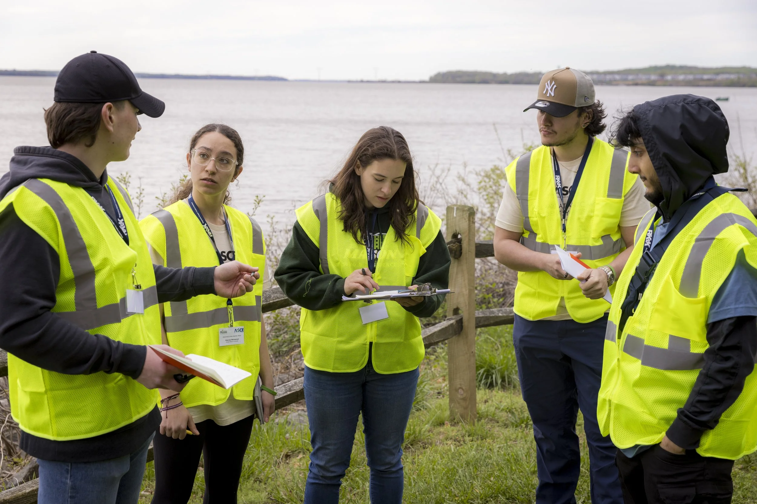
The ASCE UESI Surveying Competition provides students a unique opportunity bridge the gap between surveyors in the field and engineers in the office.
Through hands-on experience guided by a professional mentor, team members learn to operate surveying equipment, perform precise field calculations, and turn raw field data into a professional, final product.
The team travels to the Mid-Atlantic regional symposia every spring to compete in field tasks and present their topographic maps.

What We Do:
-
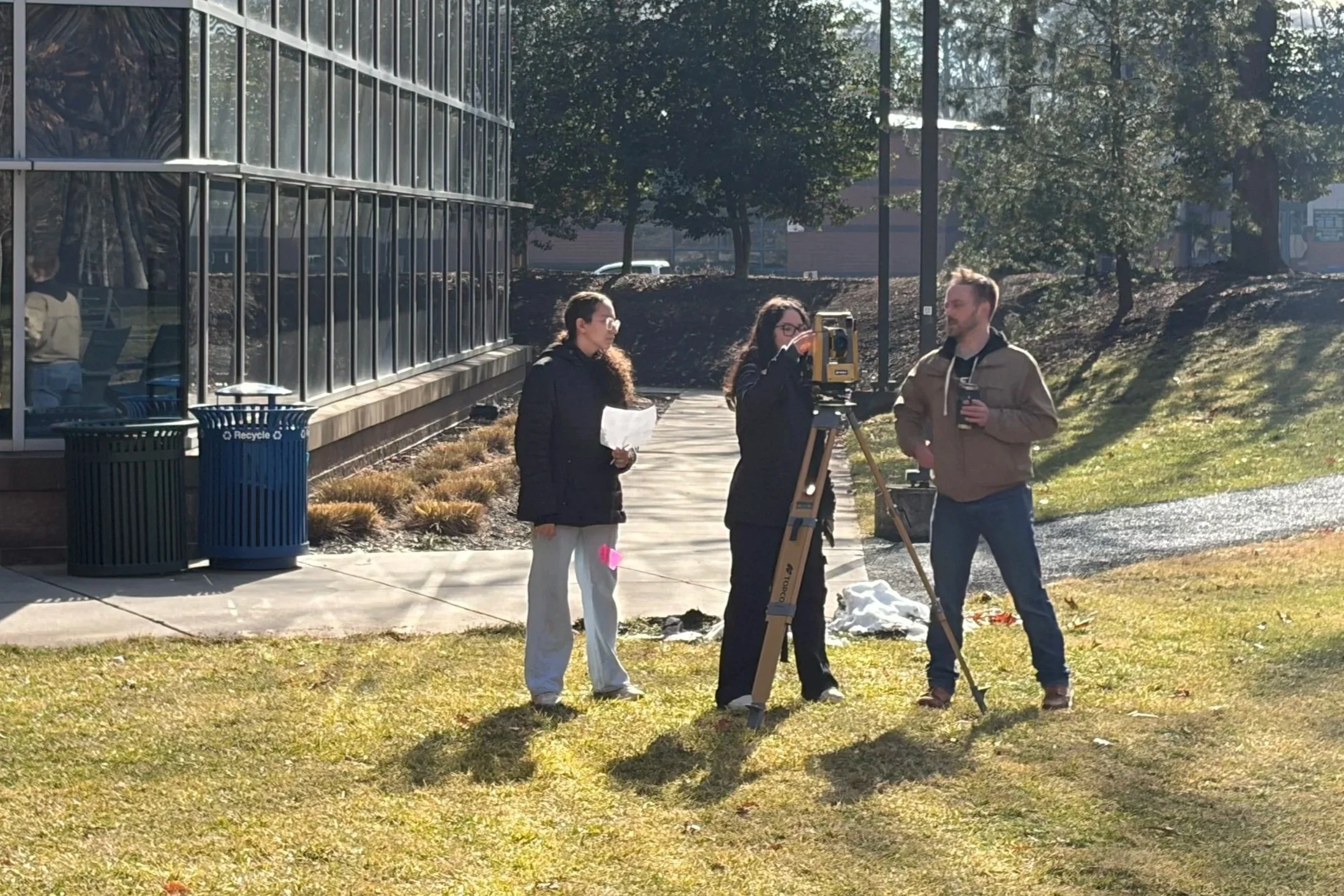
In competition, our team completes four distinct tasks:
Pacing
Using only their feet, team members confidently pace out exact distances.
Differential Leveling
With a level, team members measure and calculate differences in elevation.
Stakeout
Manually operating a total station, team members calculate and determine point locations.
Sewer Line Cut
Team members measure and calculate the cut depths required to install underground lines with a level.
-
Teams are given roughly one month to take raw data points and turn them into a professional final product.
Maps created can include:
Topographic Map
Triangulated Irregular Network (TIN)
Colorbanding Worksheet
Contour Map
-
During the fall semester, the team meets bi-weekly to practice field tasks
In the Spring semester, the team meets weekly to practice field tasks, and weekly in January and February to work on map creation.
Before competition, the team meets more frequently because practice makes perfect!
Current Team:
Team Captain:
Hasnaa Mohamed
Team Members:
Leyla Buendia-Ochoa
Dayana Cespedes-Mendoza
Sage Parkinson
Izabella Powell
Matteo Scalise
Faculty Advisor:
Doaa Bondok
Team Mentor:
Ronald King, Jr., PE, ENV SP
From Left to Right: Matteo, Izabella, Sage, Dayana, Leyla, and Hasnaa
Interested in joining the surveying competition team? Contact us at asce@gmu.edu.